Morro Bay… end of the line

Friday, 27 April 2018

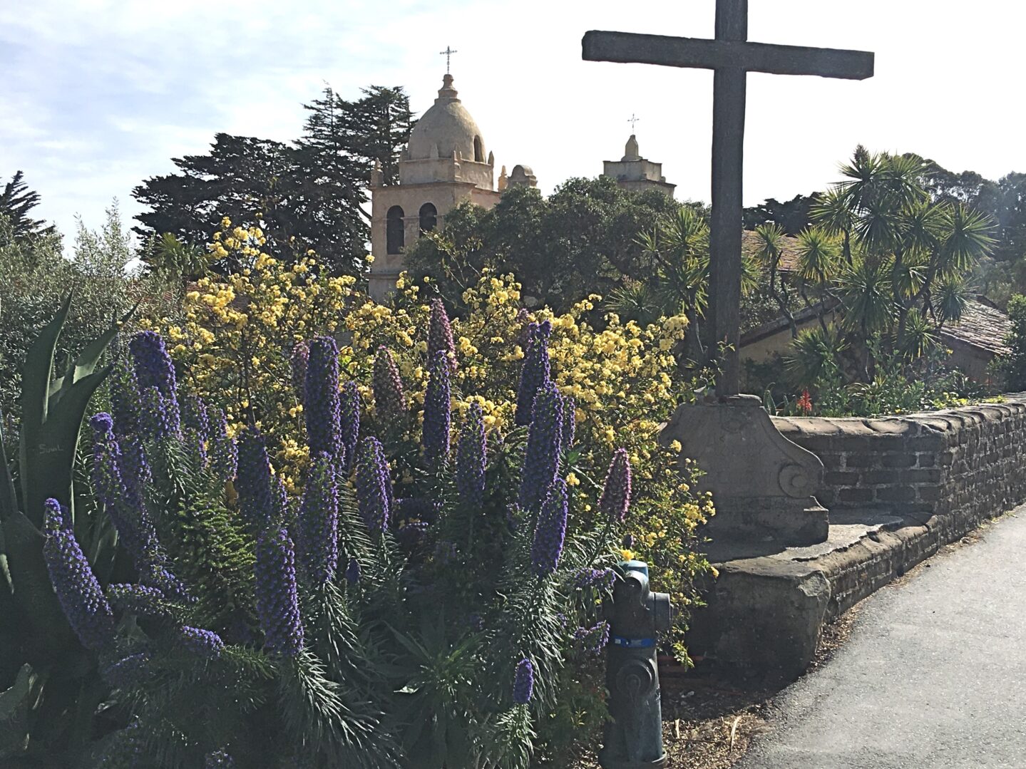
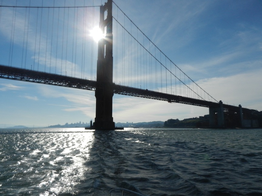
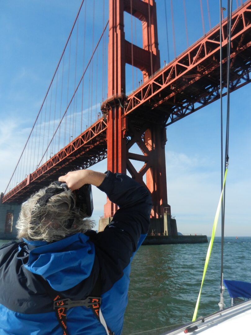
We finally break the shackles of Monterey harbour. It’s 4 a.m as we cast off for the final time and with baited breath pass various landmarks that had confounded our progress in the past. The greatest sigh of relief comes when we make it beyond our furthest point, just south of the bay of Carmel, a couple of weeks ago.

We are now down to three people and three dogs (crew mate Bo has left the boat to return home to Montana) and we motor-sail most of the time. The wind is coming from the northwest but only at about 12 to 14 knots. Captain Dan is eager to put as much distance as quickly as possible between us and our previous port.

After a while the wind dies down to about seven knots. We furl the flapping foresail but keep up the main and settle down to the familiar hum of the engine. During my afternoon watch the wind increases again and I notice small whitecaps appearing on the crests of waves.

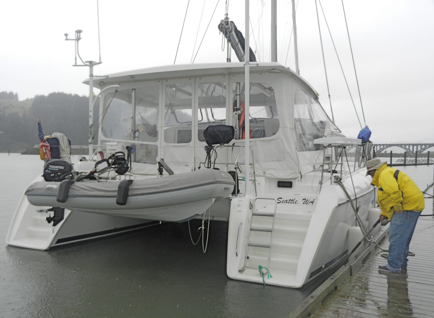
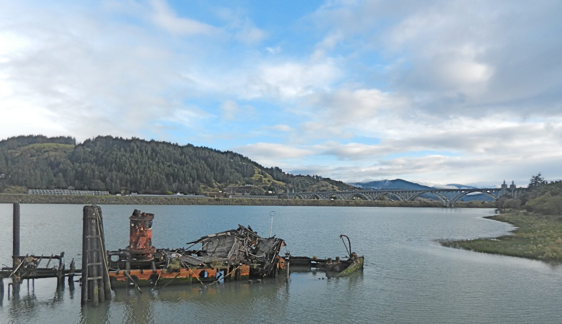
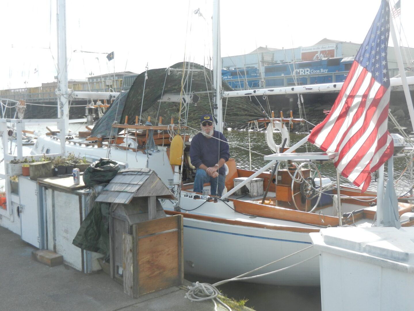
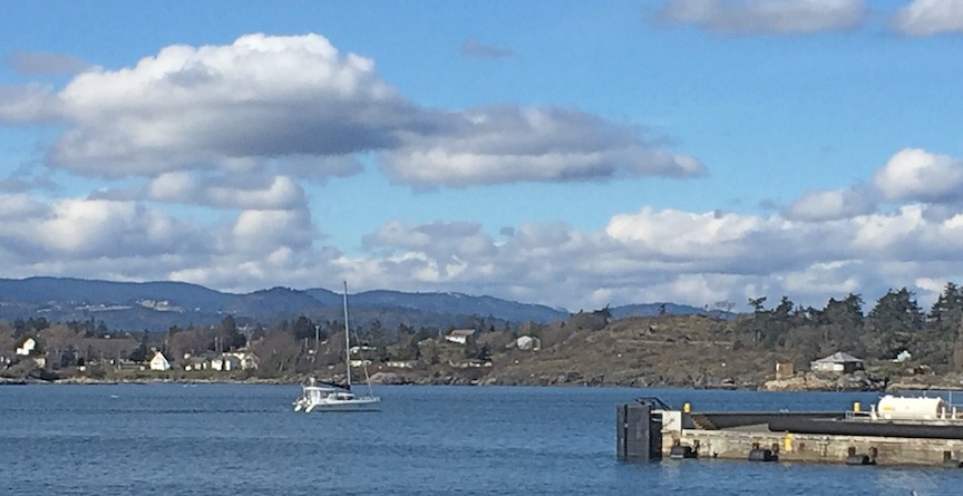
By the time the captain takes over, the wind has increased substantially. The weather forecast now announces a small craft warning and possibly gale force winds. Landfall at Santa Barbara is becoming unlikely. One third of the crew is beginning to feel the effects of mal de mer, and the captain decides to seek shelter in Morro Bay. We are able to secure moorage at the local yacht club, find their unlit dock in the dark thanks to a live webcam image our computer wiz, Linda, downloaded, and tie up around 10 p.m.

Saturday, 28 April 2018

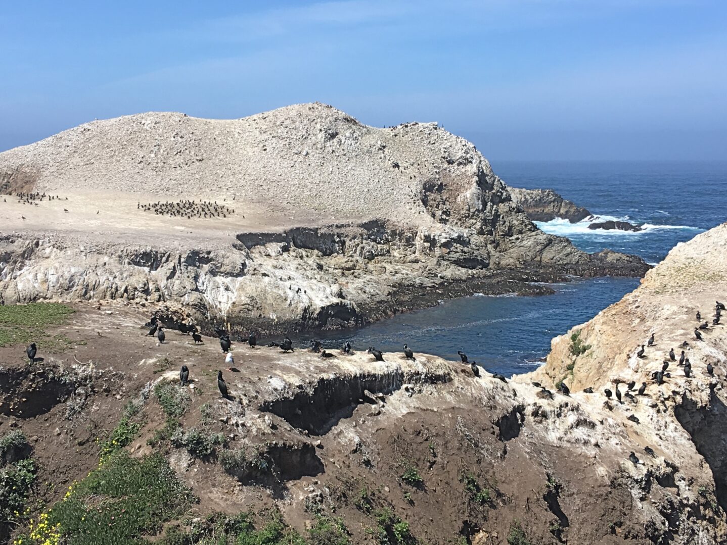
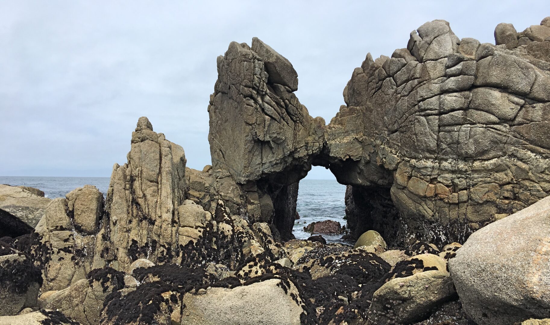
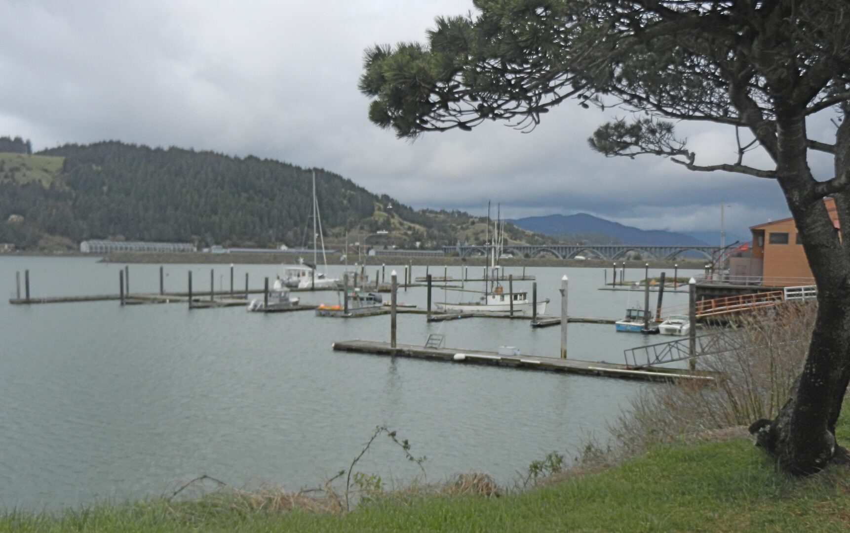
I wake up to the sight of dozens of boats of all sizes and in various stages of (dis)repair bobbing at their mooring buoys in the quiet bay. A three-mile-long, hilly sand spit protects the harbour from the open ocean. However, it’s the proverbial calm before the storm, and by noon whitecaps appear even in the sheltered anchorage.

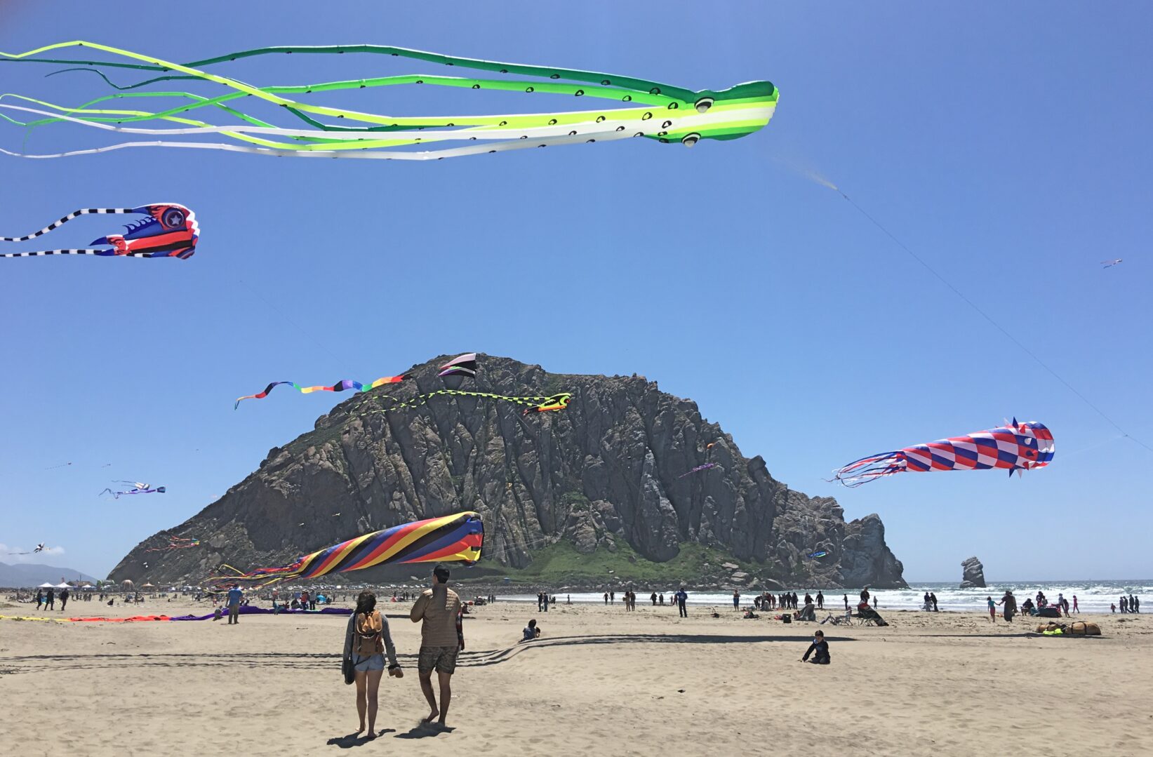
This weekend is the annual Morro Bay Kite Festival, and I walk to the dunes north of town where young and old enjoy the sunny beach, show off their colourful kites, while kite surfers, too, seem to find the strong wind and waves to their liking.

Sunday, 29 April 2018

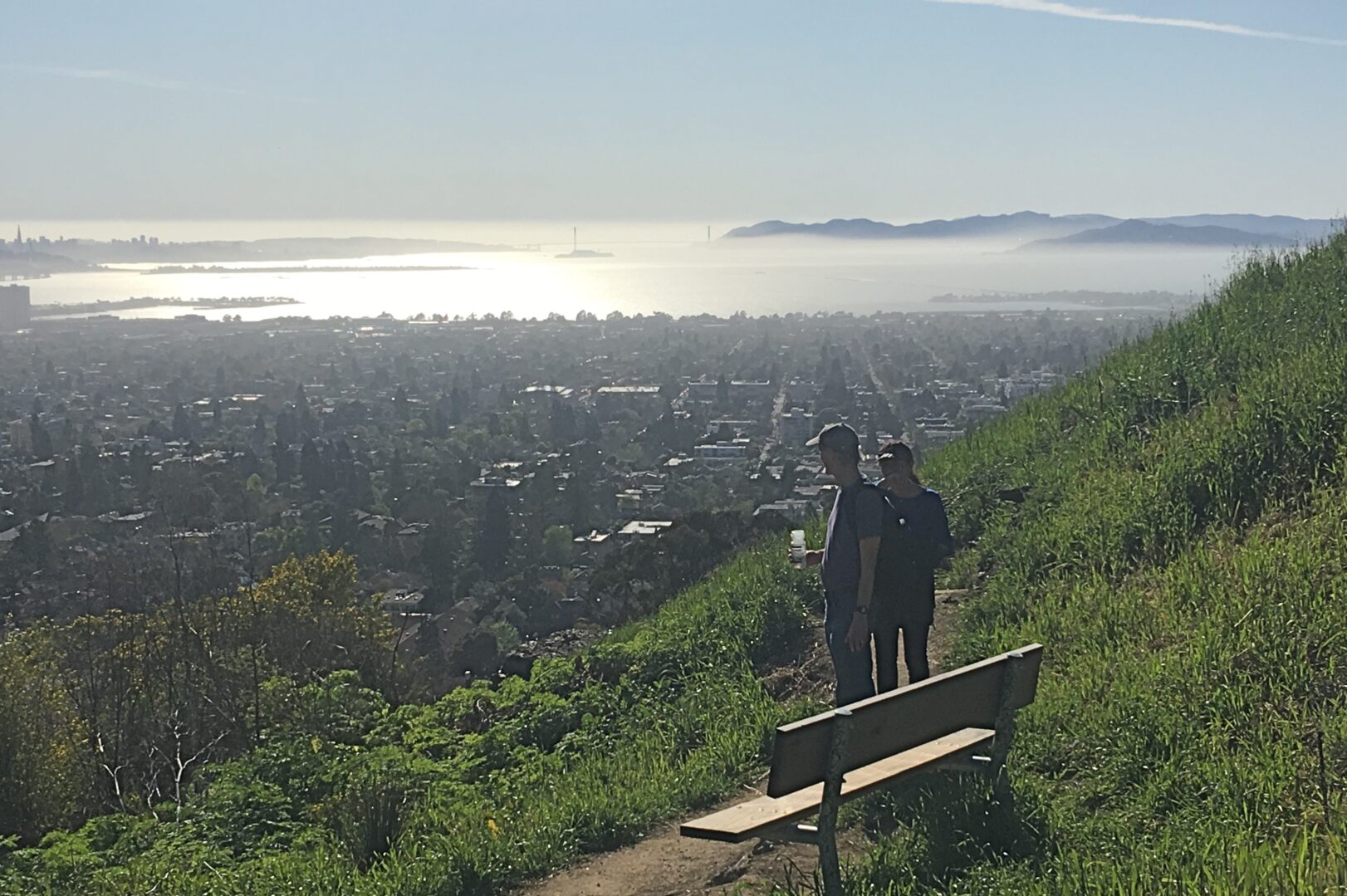
The weather forecast calls for gale force winds until Wednesday. So the captain decides that the yacht will remain in port for a week or longer while he returns by rental car to Washington to look after a few business issues. Obviously, we won’t make it to southern California, let alone Mexico, within the anticipated time. As I have already booked my flight to Victoria for May 5th, I now begin to scramble for alternate transportation and accommodation to San Diego. Sure, I could accept the captain’s offer of dropping me off in San Francisco the following day, but that would mean hotel and airplane ticket expenses on short notice. No, I’d rather begin doing things on my terms. I’ll take the train — my favourite kind of land transportation — for a look-see around San Diego before returning home.


Photos: 1.) A family watches a romp of sea otters; in the background is Morro Bay’s decommissioned power plant; 2.) Morro Bay Kite Festival against the background of Morro Rock.

Stuck in the middle of California

10 – 23 April 2018

We have been in Monterey for more than two weeks now. With the exception of half a day here and there the winds and waves haven’t behaved to the captain’s liking, so we’ve stayed put. Two Sundays in a row were ready to leave, and each time there was a last-minute mechanical problem—first a torn fan belt, then a broken throttle shifter. That meant back to the dock and cooling our heels.

I’m not complaining; not at all. On land the weather is great—mostly sunny with a few cool, windy days thrown into the mix. One never quite knows what to wear when heading out for a day in town or country, so I get into the habit of stuffing a warm windbreaker into my daypack. I’m exploring the surrounding areas and meet interesting people—mostly artists and gallery owners during my forays to Carmel-by-the-Sea. One of them, Robin and husband Ron invite me for drinks at the Monterey Peninsula Yacht Club. The next day I get the chance to return the favour by helping remove a damaged mast from their sailboat.

My excursions include cycling the Monterey Bay Coastal Trail to Point Pinos Lighthouse and going to the Sea Otter Classic (touted as the world’s premier cycling festival) at the Laguna Seca race track, ten miles east of town. It is rather mind-boggling seeing the tent city of nearly 500 exhibitors showing off anything from energy drinks to bike clothing, gear, tools and, of course bicycles. On Thursday, the first day of the event, my $20 admission is a bit of a waste as I’m not quite in the market for a new $10,000 bike, and the various races—including slalom, downhill, cross-country and track—wouldn’t get fully underway until the following days.

As much as I use a bicycle for commuting at home, when travelling my preferred modes of transportation are public transit and walking. And so it happens that on a sunny Saturday I take the bus to Carmel Valley. When I ask a fellow passenger what there is to see in this village, he says that the only attraction is a wine tasting tour. But he suggests to stop at nearby Garland Ranch Regional Park to take a look at the Carmel River and perhaps go for a hike on the trails.

The park has an excellent visitor’s centre. The lone attendant gives me some tips and suggests a route that would bring me back to the starting point in a couple of hours. Outfitted with a trail map I’m enjoying my day in nature so much that I go a little further, figuring that I can handle three hours of hiking uphill and down. My favourite is the Waterfall Trail which descends to the bottom of a sheer cliff, though the waterfall itself doesn’t materialize as it only runs seasonally.

Next to the rock face I come upon a young family whose (I estimate) six-year old girl, frightened by a dog, had fallen and hurt her shin. They ask if I have any candy to help ease the pain. Fortunately, there is still some trail nut mix left in my pack and I let them pick out the little chocolate-covered M&M candies. It seems to do the trick, for the sweet medicine stops the tears.

Another art gallery acquaintance, Suzanne, tells me about several parks in the area that I should visit. She is an avid hiker and offers to take me by car to one of her favourites, Point Lobos State Reserve. I welcome the chance to be shown the area by a local. We drive into Carmel, along winding Scenic Drive, past 19th century Mission Ranch, owned by Hollywood legend Clint Eastwood.

In Point Lobos park an old wooden building, looking like a former cabin that may have been used by 19th century sailors, now houses a small whaling museum reflecting the area’s history. From here we begin our hike along the rugged shoreline. Tall pines shelter the path while below several seals and their pups sun themselves on a pocket beach wedged between rock faces. In another bay we observe a couple of sea otters floating belly-up among kelp beds. Toward the southern end of the park the vista opens up with rock formations that must be a geologist’s dream, and indeed there is a group (students?) sitting on the boulders, sketching. Further on we find a large cormorant colony, some of whom are building twig nests on dirt patches and bare rock.

After several hours of walking we drive further south to the rustic Big Sur River Inn for a late lunch. Nestled among redwood trees on the banks of a stream the atmosphere of this 1930s establishment certainly cannot be faulted, but it’s a bit pricey considering the “homesteader” type food. We supplement the simple main menu with tasty onion rings and a chocolate milkshake topped with—what else—real whipped cream and a sprig of mint.

Yet another park on my to-do list is Jacks Peak. It is six miles from the harbour, but without any bus routes leading there, I take to the road the following day on the captain’s bicycle. It’s been three days in a row of hiking, two of them on mountain trails. And while the bike ride seems a welcome exercise change, covering a thousand-foot elevation differential and walking a short couple of miles of forest trails makes me vow to give my poor muscles a break tomorrow.

___________

Photos: 1.) Monterey Municipal Beach; 2.) vendors avenue at the Sea Otter Classic bicycle festival; 3.) view of Carmel Valley from Garland Ranch Regional Park; 4.) Point Lobos park trail; 5.) cormorant colony; 6.) Bixby Bridge crossing the canyon and creek of the same name on the way to Big Sur; 7.) view of Monterey harbour from Jacks Peak County Park.

Carmel by the Sea

Sunday – Monday, 8-9 April 2018

Two days of great contrast — wild and violent versus peaceful and relaxing. Well, the wild and wooly day starts out peaceful, too. I jog along Monterey’s municipal beach, watch curlews run along the edge of the spent surf and go for a walk in El Estero Park. Then the call comes that we are leaving port as soon as I can make it back to the boat.

Again we see a couple of humpback whales in the bay, tail out of the water as they disappear beneath the sea’s surface. We carry on westward to clear Point Pinos before setting sail in a strong breeze. But as we raise the main, its clew (back corner of the sail) rips off and the sail comes loose. Bo and I have to take care not to get smacked by the violently flapping tail end. Fortunately, we are able to bring the situation under control by reefing (shortening) the main sail.

The wind blows from the northwest. All seems perfect for a swift passage south. However, the swells are building to 25 and 30 feet and begin to hit the yacht amidship. Two of the crew are getting seasick, and after a few hours of rocking and rolling the captain decides to turn back to Monterey, as there is no other safe harbour nearby. Off the Bay of Carmel we see the waves throwing up foam and spray, crashing against the rocks. We keep well clear by tacking westward, but are now heading straight into the swell. The waves hit the yacht directly from the front, spraying the entire deck and coach house. Dan says, “This is as bad as a roller coaster ride.” I think it’s worse.

When we are certain that Point Pinos can be safely rounded, we set course for Monterey Bay and arrive back in the safety of the harbour in the dark. As the few spaces suitable for a 24-foot wide yacht are now taken, the harbour master assigns us a place in the commercial sections where coast guard and fishing boats are docked. It is next to the breakwater where dozens of harbour seals make a great commotion as they bellow continuously, each competing for a place on a rock or piling. But spent and relieved we all sleeps well this night.

I am up early, prepare porridge and fruit salad for the captain and crew, then hose down the boat with fresh water before the others rise from their slumber. There is other damage to the boat beside the ripped main sail —  a couple of broken plexiglass windows in the canvas dodger surrounding the cockpit will have to be repaired at a local shop. But listening to the stormy weather forecast nobody on board is in a hurry to relive yesterday’s experience for a few days.

After getting my day pack ready I walk to the bus stop for a trip across the Monterey peninsula to Carmel. This pretty seaside town boasts nearly 60 art galleries, a 18th century basilica and the famous Pebble Beach Golf Links.

I’ve got my priorities — first a couple of galleries, chatting with the staff, getting tips about the town along the way, then heading down Ocean Boulevard to take in the vista of the long crescent of sandy beach. Yesterday I was out there in the wind and weather, today the breeze from the sea seems rather benign when one has terra firma under one’s feet.

At the north end of the bay I can see cliffs covered in green. Could this be the famous golf course? I ask a couple; yes indeed. Walking along a beach boardwalk I stop an elderly woman. Is there a good spot to take a photo of the golf course? She takes me along a foot path that turns out to be her secret trail into the place. Ignorant of proper golf etiquette I walk along a paved road that cuts right through a fairway just when a group of men are teeing off. Oh, well, it’s merely a bunch of guys trying to hit a little ball.

Clear on the opposite side of town is the Carmel Mission, a Catholic basilica, monastery and school. I am spared the usual entry fee as it is near closing time, so I quickly pass through the maze-like gift shop that serves as the entrance to the mission courtyards, garden, and church. I like the Spanish colonial architecture of the expansive complex of buildings yet can’t help but find religious artifacts and sculptures a bit oppressive. Maybe I’ve seen just too many churches and cathedrals during my Europe travels?


Photos: 1.) Monterey harbour; 2.) rocks carved by the sea west of Monterey; 3.) & 4.) typical Carmel-by-the-Sea storefront and alley; 5.) Pebble Beach Golf Links; 6.) Carmel Mission basilica.

Do you know the way to Monterey…

Wednesday – Thursday, 4-6 April 2018

After several days of “sea trials”, criss-crossing the Bay between downtown San Francisco and Sausalito to calibrate our onboard computer equipment, we are finally underway, again passing beneath the Golden Gate Bridge  — this time outbound. The 12-13 knot wind is south-westerly and, once clear of Point Lobos and Seal Rocks west of San Francisco, we are able to set sail for a few hours until the wind dies down. We are now four on board, for the captain’s wife, Linda, joined us last week, together with their three Italian greyhounds. This means each of us (dogs excluded) only has to do a three-hour watch. Mine is 3 to 6 o’clock in the afternoon and the same time in the wee hours of the night.

With San Francisco we are also leaving the sunny weather behind. Under cloudy skies Monterey Bay comes into sight in the early morning. We see a couple of humpback whales not far from the harbour mouth. Pincer-like, two breakwaters protect boats at their moorings or docks from all but easterly winds. We are able to secure a slip for SV Amante and go exploring along the quaint historical waterfront of this town that once was the sardine capital of America.

John Steinbeck in his novel Cannery Row, tells of “the exploits of a band of bums” in a working-class area with bordellos and flophouses. Today this is a tourist mecca with a pedestrian and bicycle trail running from the marina past Old Fisherman’s Wharf and Cannery Row dotted with restaurants, galleries and gift shops, all the way to the Monterey Bay Aquarium and beyond.

Another famous artist who lived in this area in the 1940s was Salvador Dalí. I can’t resist visiting the Museum of Monterey which houses a permanent collection of the Spanish surrealist’s lithographs, etchings and a few sculptures. Later I also pop into a couple of galleries featuring local artists’ works, tour the well-known aquarium with it’s many interactive displays and water exhibits, and indulge in a decadent sundae at Ghirardelli Chocolate that would have been enough as a lunch for two (in fact the server brings me a couple of dessert spoons).


Photos: 1.) Harbour seals crowd a navigation buoy at the entrance to Monterey harbour. 2.) Old Fisherman’s Wharf;   3.) Monterey Bay Aquarium; 4.) Cookie bits sundae with whipped cream, cookies and hot fudge.

San Francisco dreamin’

21 March – 3 April 2018

We do a few projects on the boat — engine and transmission oil change, sail repair, a little gel coat repair where fibreglass has chipped. In addition several equipment parts have to be ordered at a local chandlery. This and weather conditions cause more delays as wind direction won’t favour the continuation of our voyage south until March 31. However, the rain has stopped and temperatures the second week of our sojourn in the San Francisco Bay area are reaching into the mid 70s (about 25˚ C).

22nd: I am invited to a fundraiser for Drawbridge, an arts program for homeless and other underprivileged children, by the founder of this non-profit organization. I had met Gloria, an art therapist and Fulbright scholar, while I was in the San Francisco area five years ago. She also founded Harambee Arts, a program designed to benefit vulnerable women and children in Kenya and Nepal.

25th: Today I visit my old haunt, Ashkenaz Music and Dance Community Center in Berkeley.  It’s a funky barn-looking building on San Pablo Avenue. In the winter of 2012-13, during my two-month stay in the Bay area, I went to several events there, featuring Zydeco and Salsa dances. This time the words rock & roll festival piques my interest. BandWorks is a showcase for youngsters to fulfill their dream of playing in a band. Students are organized into bands, they receive “coaching with some of the best musician-instructors in the Bay area, and after 8 weeks rehearsing their favorite rock, pop, blues, reggae and original songs” they take to the stage. Of course, the quality is mixed but there are a few gems among the singers and players.

26th: For a change in pace I decide to head for the hills. The Bay area has plenty of greenspace with lovely walks right in the centre of the city as well as large woodland parks at the outer edges. Today I choose Joaquin Miller Park in Oakland. The forest trail climbs steeply along the edge of Palo Seco Creek. By the time I return to “civilization” to catch the bus back to the boat I have only logged five kilometres, yet this first hike of my trip has given me a good workout.

27th: Two old friends, Meryline and Chris, pick me up at the yacht dock. They ask what I want to do, but I defer the decision to them; I like to go where locals go and eat at out-of-the-way spots. We head to Nido Kitchen & Bar in Oakland, a self-proclaimed “artsy, industrial spot for modern farm-to-table Mexican cuisine”. I have Ollita de pobre, a rice dish with veggies, true to its name (pobre = poor) served in a deep dish that reminds me of a workman’s canteen. For a drink I try horchata. It tastes like liquid rice pudding. No wonder, for it is made of milk, rice, cinnamon and sugar.

To digest the plentiful and filling meal we decide to hike up Claremont Canyon Regional Preserve. Tall eucalyptus trees grow in the lower reaches but higher up the vegetation thins out to meadows with only the occasional cluster of trees. The dirt path is even steeper than the one on my previous day’s outing, but I am rewarded as various lookout points give me an expansive view of San Francisco Bay.

Berkley is a genteel university town full of restaurants (739 of them!), cafés and gift shops and has quite a few establishments with French-sounding names. While it may seem a bit pretentious to a European, I shan’t quibble, for the wheat-and-walnut loaf I buy at La Farine Patisserie is a step up from the baked goods at supermarkets I have been enduring. I always prefer to buy my bread at dedicated bakeries.

29th: Another acquaintance from my previous visit here is Karen. She is the one who had taken me to the Ashkenaz Center five years ago after we got talking at a local folk concert. This time she introduced me to Ajanta, an elegant East Indian restaurant, touted to be one of the best of its kind in the Bay area with a changing monthly menu that features many regional specialties. It doesn’t disappoint, for my Sindhi Kadhi is delicious yet reasonably priced.

30th: I take one last bus ride into the heart of San Francisco, watching tourists line up for the historic cable car at Market and Powell Streets and traipsing up the hill to the Golden Gate Fortune Cookie Factory in Chinatown to buy a couple of bags of moon cookies — those sweet, round wafers that haven’t yet been folded and stuffed with lucky numbers and wise (or corny) sayings. Yum. When I tell the owner that I came all the way from Canada to get the treat I remember so well, he said, “I was in Vancouver 25 years ago, and I named my daughter after the city of Victoria!” Then he grabbed a handful of still-warm wafers and added them to my haul.

1st: On a sunny Sunday I oil the rusty bicycle chains, pump up the tires and set off on a ride around Alameda. I am familiar with the island as I used to cycle all over in my hunt for boat supplies, hardware and  trades people to get another yacht ready for the Pacific.

Washington Park with it’s long beach front facing southern San Francisco Bay is chock-a-block with families enjoying an Easter barbecue. The bike trail continues along the shoreline for miles, and I eventually meander through the marinas that dot the Oakland Estuary until I’m back at our yacht club slip.


Photo: 1.) The Ashkenaz Music and Dance Community Center;      2.) view of San Francisco Bay from Claremont park;  3.) the iconic San Francisco cable car; 4.) Golden Gate Fortune Cookie Factory; 5.) Silhouette of bicycle man on High Street, Alameda.

Familiar surroundings

Tuesday, 20 March 2018

Today is spring equinox. I suddenly realize that I have braved the North Pacific in the wintertime! Hard to fathom (no pun intended) that from now on we’ll be getting more daylight than nighttime hours.

Here at San Leandro Marina, meanwhile, we see another sad waterfront story developing. Supposedly there are two yacht clubs using the boat basin but few vessels (many looking rather neglected) are using the 400+ slips. It’s just too much trouble to traverse the long approach to the bay.

Our end of the dock is covered in guano, and in the morning at low tide we notice our yacht sitting on mud. Apparently, San Leandro Marina’s days as a boat harbour are numbered. Because of the lack of federal funding for dredging, the city plans to tear out the floating docks and turn this sheltered harbour into a recreation area for kayaks, paddle boards and other small watercraft. But at least San Leandro is rolling with the punches — unlike Gold Beach, Oregon — for they have ambitious plans to redevelop their entire waterfront.

Good news today for Captain Dan. A local marine electronics technician makes a house call and fixes our AIS (automatic identification system) computer and also discovers the (very simple) problem with our anchor windlass. Later this week he will return to install an electronic diagnostics system so we can pinpoint any malfunction and more easily do some troubleshooting. Dan also finds different dock space for us much closer to San Francisco — at the Oakland Yacht Club!

As we cast off and motor to our new location in the Oakland estuary, I am able to play tour guide. I know the area around the island of Alameda well, for I had looked after my son’s and daughter-in-law’s yacht for two months here in the winter of 2012-13 before they took their family of seven on a voyage across the Pacific. In fact, I did relocate their boat from another marina to the large Marina Village Yacht Harbor right next door to the Oakland Yacht Club!

Photos: The Oakland Estuary is the area’s main working harbour visited by cargo ships from across the globe.

Under the Golden Gate

Friday, 16 March 2018

Another roller coaster ride — this one over the bar at the mouth of the Rogue River. Waves’ peaks and valleys are the same in height and depth. But when they hit a shallow area, such as a sandbar, the wave makes up in height what it loses in depth. So you can imagine the surf we have to traverse… yippee!

It’s again the same story — motoring into the wind. On my request we do set sails as the wind shifts enough to go on a close reach. But it also means heading off shore a little more. Half an hour later the wind slackens. We’re doing about four knots (7 km/hour), not enough for the captain’s taste. So down with the sails and on with the iron jenny. Blah.

In the late afternoon the automatic steering gives out. We’re now hand-steering during our four-hour watches. Lucky this yacht with its state-of-the-art electronics still has such a thing as a good old-fashioned magnetic compass.

Saturday, 17 March 2018

It was hailing and cold in Oregon but now it’s sunny and short-sleeve weather as we pass into northern California waters. In the afternoon we see whales passing us on their way north, though we can’t identify the breed. The captain rigs one of his fishing rods hoping for a small tuna to bite. Alas, no luck. Instead, for supper he opens a can from the pantry to serve us tuna salad.

Sunday-Monday, 18-19 March 2018

We are within striking distance of San Francisco. If we carry on at our current speed we’d arrive in the middle of the night and against the tide ebbing out of the bay until 7:30 a.m. We really want the sensation of passing under the Golden Gate Bridge by daylight. The decision is made to wait in a sheltered cove a few hours out and get some rest before continuing on to our destination. Two attempts at anchoring fail as the electric windlass won’t release the anchor chain. So, instead, we very slowly motor toward the city lights.

At first daylight we see the iconic bridge in the distance. It still takes us a couple of hours before we glide underneath its spans into San Francisco Bay. As we do so we utter a holler for such is the experience which many sailors before us a have had when they “arrived”.

Calling ahead to various marinas, the captain can only find one who has space for a 42-foot catamaran — in far off San Leandro. It so happens to be Dan’s old stomping grounds, for he once belonged to the local sailing club here before moving to Washington.

The south end of San Francisco Bay is rather shallow and silty. This marina can only be reached via a two-mile long dredged channel… at high tide. The passage is well marked with red and green day beacons but if a boat were to veer off this path it would immediately get stuck in the mud.

After we dock, my immediate personal projects are to have a shower and shave, then load my laundry onto one of the bicycles and pedal off to the nearest laundromat. Ah, being clean does feel refreshing.

A harbour without lights

Tuesday, 13 March 2018

As a boater one always keeps an ear tuned to the marine forecast. Problem is that you can miss a fair weather window if treating meteorology as an exact science. Out there, on the ocean, conditions aren’t always the way prognosticators predict. Even current conditions at a weather station may be entirely different from your own position a dozen miles away.

We’re staying in Charleston another day as the forecast calls for strong southerly winds and ocean swells, and there is no use beating against the weather when one can only cover a few miles an hour in the desired direction. Instead, we spend much of the day cleaning the deck of the yacht.

Wednesday, 14 March 2018

We are up and away by 8 o’clock. Seeing the harbour mouth by daylight makes one realize how tricky this entrance is. Yet I have seen an oceangoing cargo ship steam in on its way to the Port of Coos Bay at a pretty good clip.

The seas kick up high waves on our way out because the foreshore is relatively shallow and the fingers of the jetties funnel the water into the bay. It’s a bit like heading out into the surf. Beyond the jetties to the north are yellow sand beaches, to the south the sea crashes into steep cliffs that rise toward Cape Arago.

Once we are clear of the shore the southerly wind and southwesterly swells give us a roller coaster ride as we motor along. We observe a fishing boat laying crab traps less than a quarter mile off our starboard side. Got to be vigilant to avoid those floats. I’ve encountered them when the chart indicated a depth of 350 feet.

Other than the contrary winds, the weather is fair. A bit cooler than in recent days but sunny with clouds on the horizon. By nightfall the seas build and the forecast says there’d be gale force winds overnight. We had hoped to make Crescent Beach, California, but decide to tuck into the next harbour, Gold Beach.

Well, we find out that the entrance to the Rogue River estuary doesn’t have any lights or buoys to guide us in — nothing at all. And if that isn’t bad enough, we “pick up” another crab line and float right there. Under only one engine Captain Dan manages to find the way under radar and with the help of his electronic chart display while Bo and I are stationed at the bow trying to look for hazards in the pitch darkness. Even then we almost touch bottom before finding the docks at the end of a dredged channel in a shallow lagoon. Between the commercial and recreational docks there are only a few local boats in the “harbour”. No wonder, for the decking isn’t in the best of shape, the water outlets don’t work, and there is no electric connection for our 50 amp power requirements (and who knows if the 30 amp outlets they have here really work).

When we talk to the harbourmaster in the morning, we find out that their fuel dock doesn’t have diesel, only gasoline, and he tells us a sorry tale of lack of funding to keep the port in shipshape. Dan’s argument is that more boats would visit the harbour if it had proper navigational markers and dock facilities, for the scenery here is rather lovely with its forested hills on either side of the river.


Photos: 1.) Gold Beach harbour. 2.) Captain Dan using his mini camera to see how the crab line is wrapped around the propeller. 3.) Wreck of the Mary Duncan Hume [1881-1978], “longest active sea service for any commercial vessel on the Pacific coast”. Rogue River Bridge [1932] in the background.

Gimme shelter

Sunday, 11 March 2018

Just before my next night watch I am awakened by the boat lurching in the waves. It’s difficult to sleep with the hull in front of my cabin being pounded so violently. After 15 minutes of this din, things turn calmer. I later learn that the wind and ocean swells had come directly from the south so the captain changed course, heading for shelter in the nearest coastal harbour. Needless to say I’m somewhat concerned about crab pot lines as we get closer to land. However, no more mishaps on my watch.

Thick sea fog envelops us as daylight breaks. After Bo takes over the helm at 6 a.m. the captain sticks his head out of the cabin and announces that the weather has changed and we’ll carry on south. We are a bit disappointed, for it would have been nice to stretch our limbs on terra firma for a day.

Soon the sun pierces the fog and we are suddenly under clear skies, leaving the grey bank behind us. Again we are motoring and nothing but motoring. It’s comfortable enough, though, with the swells pushing us along, and during Captain Dan’s mid-day watch, the crew soaks up some warm sun rays on the foredeck, doing much needed stretches and exercises. Such things are often neglected when the natural sleep pattern is disturbed and days and nights seem to blend one into another.

On my afternoon watch I encounter one crab pot float after another, even after I head further from shore to a water depth of 350 feet. Fortunately, the fisher laying their traps have done so in a fairly straight line, but one still has to be alert to avoid them, even in daylight. At night it’s hopeless, for the radar doesn’t pick them up unless the sea is calm. I would propose that fisher should outfit each float they set with a little red light. Problem solved.

The weather forecast calls for stronger winds in the next few days — again from the south. We would make little headway even under motor. So it is decided to find shelter in Coos Bay (southern Oregon) for a few days before continuing our journey.

We arrive in the dark, navigating with the help of our electronic GPS chart as well as the lighted buoys guiding us into the entrance of the harbour. We tuck into the fishing village of Charleston instead of going another ten plus miles on the waterway to the town of Coos Bay. We tie up to the transient dock next to dozens of fishing boats. This is a working harbour and we look a bit out of place in our pleasure craft, but it’s fun talking with folks who stop and admire SV Amante.

Monday, 12 March 2018

How relaxing it is not having to rise at 2 a.m. Everyone has a good night’s rest. A hearty omelet breakfast with all the trimmings, cooked by the captain, gives us energy for the day ahead. At noon I jump on one of the two bicycles we have onboard and head into town — the big town of Coos Bay that is. On the lookout for a bakery along the way I notice a sign, “Good stuff, cheap breads.” Oops, correction, it reads “beads”. I really ought to have my eyes checked!

I do some off-road cycling in John Topits Park which surrounds the Empire Lakes then head to downtown Coos Bay. From the boardwalk along the water’s edge I see some handsome sailboats and can’t resist walking down the ramp to the dock. I talk to Captain Rob, an old salt who lives on his 37-foot Islander ketch Summer Wind. He plans to take it to Alaska next year, not via the popular Inside Passage but out in the ocean west of Vancouver Island. Next door at the Fishermen’s Seafood Market I have a clam chowder before taking the long and mountainous inland road back to Charleston. In total I cover about 45 km (28 miles) on pedal power this day. I sleep well tonight.


Photos: 1.) Memorial for fishers from this area lost at sea; 2.) low tide at Charleston with SV Amante docked amongst the local fishing fleet; 3.) cat, bike and I; 4.) Captain Rod on his live-aboard in Coos Bay; 5.) cargo ship steaming up the channel to the Port of Coos Bay.

Sunny skies, starry nights

Friday, 9 March 2018

I wake up as the sun rises over Neah Bay. In the enclosed cockpit a little towhee has found shelter. Maybe a good omen for the day to come? Sailors are a suspicious lot. It must have slipped through a crack in the canvas. By the time I get things ready for a stick-to-your-ribs breakfast of porridge with blueberries for the crew, the bird has escaped.

We’re taking another run at it. After fuelling up we leave the fishing and lumber village, retracing our route around Cape Flattery and into the Pacific. What a contrast to yesterday. The sky has cleared and we see cargo ships entering the Strait of Juan de Fuca on their way to ports in the Salish Sea. The shores of Vancouver Island and Washington stand out is clear detail, and from our vantage point the Cape Flattery lighthouse situated on a treed islet looks like a church spire bidding us godspeed.

We have a slight westerly breeze not enough to move us along at more than a snail’s pace. The captain is eager to reach San Francisco within the week, and so we keep the engine running. After a few hours the wind shifts to the southwest and we douse the flapping sails.

I have experienced a night sky in the country far from city lights and above the arctic circle but tonight it is as grand as I have ever seen. Maybe I notice it so much because I am lying in my cabin looking straight up through a glass hatch above my bed.

Saturday, 10 March 2018

Everything runs smoothly on my 2-6 am night watch until I run over some crab pot line. The port (left) engine shudders and I have to “kill” it in a hurry. Did the captain and crew ever come jumping out of their berths in a hurry! The rest of the night we’re running on the starboard engine. Later in the morning the wind freshens from the south-easterly direction. So up with the sails and off with the motor, hurray! This lasts for a few hours until the wind lessens and veers to come right on our nose.

The sky is as clear today as in the night, with the daylight temperature hovering around 16˚C. Twenty nautical miles off the south Washington coast near the mouth of the Columbia River we stop and my crew mate, Bo, dons swim trunks, diving mask and a rope around his waist, jumps into the frigid sea and, after only two attempts, frees the propeller from the crab line. He’s our hero and surely deserves the hot shower we don’t often allow ourselves to take because on board one needs to conserve precious water.


Photo: Bo is getting ready to dive.

An early start

Surely most of us can attest to the truth of Robert Burns’ quote, “The best-laid schemes o’ mice an’ men gang aft agley” (go oft astray).

Since joining the sailing yacht Amante in early February I have had my share of health mishaps, including a couple of broken molars, that sent me back home to Victoria for surgery. But hopefully all this is behind me now. Captain Dan and crew, Bo, arrive in Victoria and spend a few days enjoying the sights (and pubs) until my last checkup gives me the all clear.

Thursday, 8 March 2018

We are finally on our way, motoring out of Victoria harbour before the city is fully awake. Once in the Strait of Juan de Fuca, a fresh northerly wind allows us to set sail and we head west toward the Pacific Ocean at a respectable 7-8 knots, the rocky shoreline of Vancouver Island on our right and Washington’s Olympic Peninsula to the left.

As the day progresses, the cloud cover increases and visibility becomes worse with both shorelines disappearing into the mist. Fortunately, we have a good electronic chart plotter to help us stay on course and clear of cargo ships. However, soon the wind all but dies and we have to turn on the engine again.

As we round Cape Flattery the Pacific swells make us feel like a surfer paddling against the breakers. The wind, too, has turned against us, coming from the south, and it is beginning to rain. It’s a losing battle. All we are doing is buck the waves and waste fuel without making much progress. Reluctantly, we decide to turn back to find shelter in Neah Bay. After another hour and a half of motor-sailing — this last stretch with the wind — we anchor in the relatively calm bay.  Having covered 77 nautical miles during a 12-hour day we indulge in a homemade taco dinner, thinking of warmer days and fairer winds ahead.


Photo: Sunrise in Neah Bay, Washington State.

A cat called “Amante”

No, I hadn’t planned on travelling far from home this winter. I didn’t feel like living out of a suitcase or backpack for weeks or months on end. I had done that for the last five years. Instead, I wanted to stay in my own cozy home during the blustery, chilly winter days. Besides, my seasonal job as Victoria Harbour Ferry skipper was going to start up in mid-February — sooner than usual.

So, here I am sitting in front of the fireplace one overcast December afternoon, feet up, computer on my lap, when up pops an email from “Find A Crew” reminding me to keep my personal profile up to date. I first subscribed to this website, which matches yacht owners with potential crew, while house-sitting in Turkey a couple of winters ago in hopes of going cruising later on. But at that time of year one finds little sailing activity in the stormy Mediterranean; even most yacht charter companies close shop there between November and March.

Opening the website I notice near the top of the list a post by the captain of a 42-foot catamaran looking for crew to sail from Puget Sound in Washington State down the coast to California and Mexico. Hm, not the best time of year to spend sailing in these waters. But Mexico sounds pretty good when freezing rain is pelting against my living room window. So I send off a “wave”, a “Hi, I just may be interested” kind of note. And wouldn’t you know it, I receive a reply in short order.

Now, to keep things in a realistic perspective, I’m getting a little long in the tooth. Sure, I’m in good shape, what with cycling everywhere in town and jogging once or twice a week, and I do have boating experience, both chartering in local coastal waters and a few decades of cruising in my small daysailer. However, most yacht owners seem to be looking for crew in their prime and possibly with more than my rather modest large boat experience.

Yet this time, following further email correspondence and a phone call, things progress to the point that in early January I take the Washington State Ferry from Sidney, BC to Anacortes, WA to meet Dan, the owner and captain of SV Amante. The yacht is “on the hard” (out of the water) with most of the electronics and various other parts strewn across cockpit and salon waiting to be installed in preparation of Dan’s and wife Linda’s multi-year voyage across the world’s oceans. We get along just fine and, upon parting, assure each other that we are both ready to set sail together in early February.


Photos: 1.) The deck of sailing vessel Amante from 67 feet up at its slip in Cap Sante Marina (photo by Bo, my crew mate); 2.) SV Amante entering Victoria, BC harbour.